HappyNational Banana Split DayWeather relevance remains under investigation.
Flood WarningFlood Warning issued August 25 at 8:35AM EDT until August 26 at 8:00PM EDT by NWS Indianapolis IN · 2 active alerts

Official Safety Information

2 active alerts for Terre Haute and Vigo County

NWS Alert
Flood WarningSevere · Ends Wed, Aug 26, 8:00 PM EDTDetails
Affected area
Clark, IL; Crawford, IL; Sullivan, IN; Vigo, IN
Issued by
NWS Indianapolis IN
Expected to end
Wed, Aug 26, 8:00 PM EDT

Official alert details

...The Flood Warning is extended for the following rivers in Indiana... Wabash River from Montezuma through Mount Carmel. White River from Edwardsport through Hazleton. .Minor flooding continues along the White River from Edwardsport downriver with the crest already past Hazleton. Minor flooding also continues on the Wabash River from Montezuma down to Mount Carmel with the crest approaching Vincennes. Rain amounts with scattered storms Wednesday evening are not expected to impact main stem river levels. * WHAT...Minor flooding is occurring and minor flooding is forecast. * WHERE...Wabash River at Terre Haute. * WHEN...Until Wednesday evening. * IMPACTS...At 20.5 feet, Residential property of about 50 river cabins begin to flood. North Lake and Izaak Walton Areas near West Terre Haute begin to flood. Flooding closes more county roads. Lowland agricultural flooding is in progress. * ADDITIONAL DETAILS... - At 6:30 AM CDT /7:30 AM EDT/ Tuesday the stage was 20.3 feet. - Recent Activity...The maximum river stage in the 24 hours ending at 6:30 AM CDT /7:30 AM EDT/ Tuesday was 22.0 feet. - Forecast...The river is expected to fall below flood stage tomorrow morning and continue falling to 8.5 feet Thursday, September 03. - Flood stage is 16.5 feet. - http://www.weather.gov/safety/flood

Safety instructions

Turn around, don't drown when encountering flooded roads. Most flood deaths occur in vehicles. Motorists should not attempt to drive around barricades or drive cars through flooded areas. Additional information is available at www.weather.gov/ind. The next statement will be issued this evening at 845 PM EDT /745 PM CDT/.

Read the full notice at weather.gov ↗
Flood WarningSevere · Ends Wed, Aug 26, 12:40 PM EDTDetails
Affected area
Parke, IN; Vermillion, IN; Vigo, IN
Issued by
NWS Indianapolis IN
Expected to end
Wed, Aug 26, 12:40 PM EDT

Official alert details

...The Flood Warning is extended for the following rivers in Indiana... Wabash River from Montezuma through Mount Carmel. White River from Edwardsport through Hazleton. .Minor flooding continues along the White River from Edwardsport downriver with the crest already past Hazleton. Minor flooding also continues on the Wabash River from Montezuma down to Mount Carmel with the crest approaching Vincennes. Rain amounts with scattered storms Wednesday evening are not expected to impact main stem river levels. * WHAT...Minor flooding is occurring and minor flooding is forecast. * WHERE...Wabash River at Montezuma. * WHEN...Until Wednesday afternoon. * IMPACTS...At 18.0 feet, Montezuma agricultural levee is overtopped. Fourteen hundred acres of low bottomlands flood. * ADDITIONAL DETAILS... - At 7:45 AM EDT Tuesday the stage was 16.5 feet. - Recent Activity...The maximum river stage in the 24 hours ending at 7:45 AM EDT Tuesday was 18.9 feet. - Forecast...The river is expected to fall below flood stage just after midnight tonight and continue falling to 7.5 feet Friday, September 04. - Flood stage is 14.0 feet. - http://www.weather.gov/safety/flood

Safety instructions

Turn around, don't drown when encountering flooded roads. Most flood deaths occur in vehicles. Motorists should not attempt to drive around barricades or drive cars through flooded areas. Additional information is available at www.weather.gov/ind. The next statement will be issued this evening at 845 PM EDT /745 PM CDT/.

Read the full notice at weather.gov ↗

Official National Weather Service information. Action 96 jokes stay outside this box—because Gary insisted.

Official Terre Haute Conditions

● NWS Live

Clear

Observed at 12:35 PM EDT

75°Official observation
WindS 5 mph
Humidity54%
Rain chance0%
Sourceweather.gov

This Afternoon

Nice weather. Skip is furious.

81°Low 61°

Sunny, with a high near 81. Southeast wind around 3 mph.

12 PMSunny75°0% rain
1 PMSunny78°0% rain
2 PMSunny79°0% rain
3 PMSunny80°0% rain
4 PMMostly Sunny81°0% rain
5 PMSunny81°0% rain

Looking Ahead

Terre Haute five-day forecast

National Weather Service

This Afternoon

Sunny

Sunny

81°61°
Rain0%
WindSE 3 mph

Wednesday

Mostly Sunny

Mostly Sunny

86°65°
Rain10%
WindSSW 1 to 6 mph

Thursday

Sunny then Slight Chance Showers And Thunderstorms

Sunny then Slight Chance Showers And Thunderstorms

83°63°
Rain19%
WindNNW 1 to 5 mph

Friday

Sunny

Sunny

82°61°
Rain0%
WindNNE 1 to 6 mph

Saturday

Sunny

Sunny

84°64°
Rain1%
WindE 2 mph

Action 96 Storm Tracker

Radar movement + local lightning detection

Official NWS radar
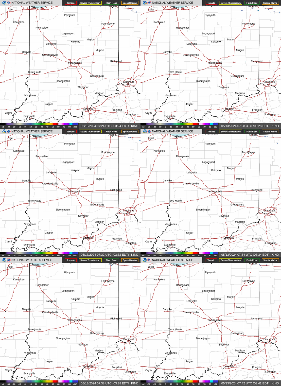
Live animated radarIndianapolis radar · covers Terre Haute
Animated National Weather Service radar loop covering central Indiana and Terre HauteOpen interactive radar ↗

Wabash River Watch · USGS 03341500

Out of its banks and showing off

Minor flooding
19.90feet
fallingLatest observation: 12:30 PM EDT
0 ftAction 11.5Minor 16.5Moderate 24.5Major 30

Updated automatically from the USGS Terre Haute gauge ↗. Flood categories from the National Weather Service.

Action 96 Daily

Action 96 Weather Terre Haute Weather Behaves… Skip Does Not | Action 96 Weather

Posted Aug 25, 6:54 AM

Watch on YouTube ↗

Meet the Storm Team

Three professionals. Technically.

Terre Haute weather requires experience, judgment, and at least one person willing to keep Skip away from moving water.

Dana Dawson in the Action 96 Weather studio

Chief Meteorologist

Dana Dawson

Polished, prepared, and increasingly concerned about what Skip is doing outside.

“Please just read the forecast, Skip.”
Skip Toomaloo reporting from downtown Terre Haute

Man on the Scene

Skip Toomaloo

On location whether the situation requires him or not. Usually not.

“Gary, get closer.”
Gary Stone with the Action 96 camera and weather van

Cameraman · Adult Supervision

Gary Stone

Keeps Skip in frame, drives the van, and has somehow not resigned.

“Dammit, Skip!!!”